New Zealand
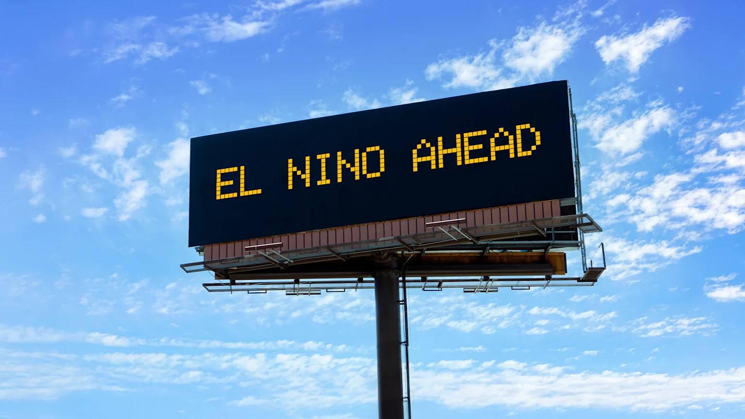
El Niño has arrived - Here’s what it’ll do to NZ’s weather

Published by Sophie van Soest
03 Jul 2026
El Niño has arrived and is expected to intensify into one of the strongest on record.
If you’re wondering what this means for wherever you are across the country, here’s a quick guide to help you navigate the coming months.
What is El Niño?
According to Earth Sciences New Zealand, El Niño is a global weather phenomenon triggered by warming ocean temperatures in the eastern and central equatorial Pacific.
In New Zealand, it typically acts as a "weather driver" during our Spring, with a pattern of stronger westerly quarter winds (coming from the southwest to the northwest).
That usually means drier-than-normal conditions for eastern and northern parts of both islands, while the western and lower South Island tend to see wetter-than-usual weather.
A sea surface temperature (SST) difference from average, known as an “anomaly,” is what’s used to measure how strong an El Niño is.
Once that anomaly reaches around 1.5°C, it’s considered a strong El Niño. If it gets to 2.0°C or higher, it’s very strong, sometimes called a Super El Niño.
The SST for the current event is already sitting over 1.0°C, and is expected to continue to rise.
For context, the five strongest El Niño events on record (1972, 1982, 1991, 1997 and 2015) all saw SST anomalies close to, or slightly above, 2.5°C.
Chief Scientist at Earth Sciences New Zealand, Chris Brandolino, says: “At the very least we’re expecting this event to rival the intensity of these historical top five events, but it has considerable potential to exceed them all.”
What to expect from El Niño
Because our weather is influenced by a bunch of factors, including the Indian Ocean Dipole, influences from Antarctica, and climate change, Brandolino and MetService meteorologist Jon Tunster say there are some clear trends pointing to drier, wetter and windier conditions across the motu.
The Earth Sciences New Zealand forecast (July to September):
Drier Conditions: Canterbury, Marlborough, eastern Otago, Wairarapa, and from Hawke’s Bay to Gisborne, Taranaki to Bay of Plenty through to Auckland and Northland.
Wetter Conditions: West Coast, Southland, and parts of Central Otago
Windier Conditions: Most of the country will notice more persistent westerly winds from late winter into spring.
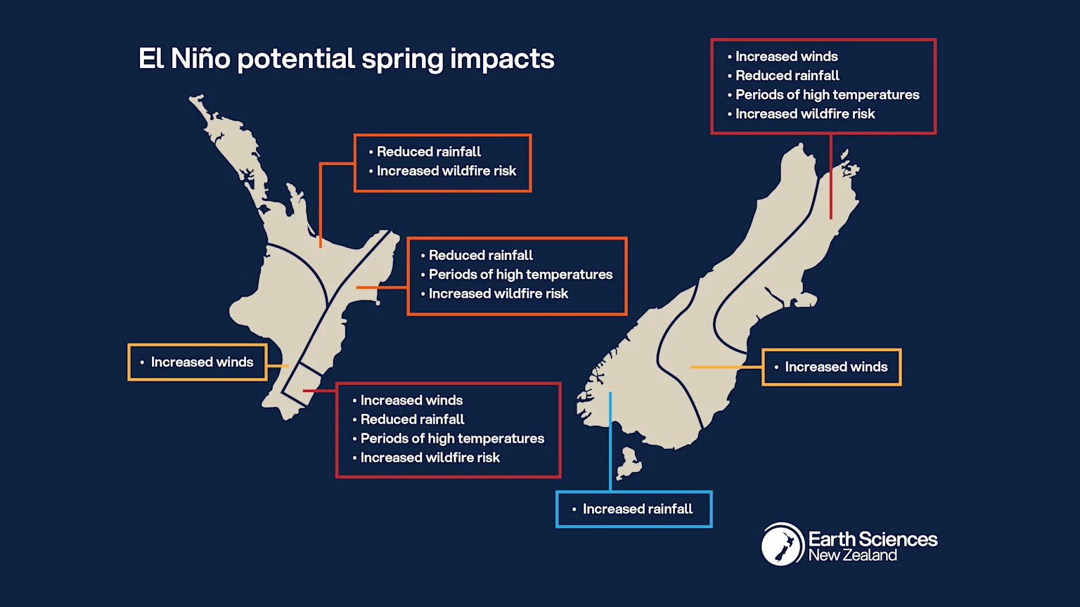
Potential spring impacts (Credit: Earth Sciences New Zealand)
Tunster says, “There’s more to it than El Niño, or even Super El Niño, but this El Niño event is shaping up to have a major influence, potentially from September onwards.”
“The combination of wind and reduced rainfall will dry soils and lead to periods of increased wildfire danger - especially when temperatures are elevated and humidity is low. These conditions are most likely to occur on the eastern, and perhaps northern, sides of the country.”
“The prospect of lower rainfall in several regions is likely to result in reduced groundwater recharge, creating challenges for water-reliant sectors.”
Brandolino add that it’s important to remember that "No El Niño is average”.
“While we know the average outcome of El Niño because of historical data, each comes with a unique set of climate characteristics and therefore can be expected to influence the weather differently.”
Even small shifts in wind direction can drastically change how spring plays out.
Earth Sciences New Zealand will continue to provide further updates through its monthly Seasonal Climate Outlook as this event develops.
Published by Sophie van Soest
03 Jul 2026